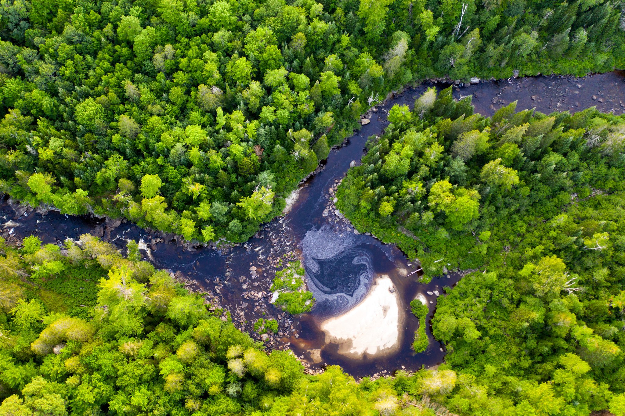
The Nulhegan River
The Nulhegan River is part of the Northern Forest Canoe Trail , “a 700-mile water trail from Old Forge, New York to Fort Kent, Maine, that … follows traditional travel routes used by Native Americans, settlers, and guides. It is the longest inland water trail in the nation.”
Trailfinder.info describes it as follows: “Vermont's most wild river, the Nulhegan River drops through a basin of thick forests and boreal wetlands … protected through the Nulhegan Basin Division of the Silvio O.Conte National Fish and Wildlife Refuge.”
The main stem of the Nulhegan River runs adjacent to the south boundary of the Refuge. Research into the origins of the Nulhegan River reveals diverse information. As quoted below, Wikipedia describes Nulhegan Pond as the start of the main stem. People, Land, and History: The Cultural Landscape of the Nulhegan District, a report prepared for the Vermont Land Trust by Stephen Scharoun, Edward Frank, Robert N. Bartone, and Ellen R. Cowie of the University of Maine at Farmington and published in 2001, says the Nulhegan “meanders over an easterly course from multiple sources in the uplands immediately to the east and north of Island Pond over a distance of approximately 32 km (20 mi)”. Other sources describe the Nulhegan River as originating a couple of miles south of Island Pond, traveling north to join Nulhegan Pond and then continuing east on its way to the Connecticut River. The text below begins with a section quoted from Wikipedia, then continues with descriptions of the various branches, combining information from Wikipedia with descriptions in the People, Land, and History report.
“The Nulhegan River is a 15.1-mile-long (24.3 km) tributary of the Connecticut River in Essex County, Vermont. The main stem of the river rises at the outlet of Nulhegan Pond in the eastern part of the town of Brighton, Vermont, and flows east into the town of Ferdinand. Near the eastern border of Ferdinand, the North Branch of the Nulhegan enters from the north. The main stem continues east into the northern corner of the town of Brunswick, then turns southeast upon entering the town of Bloomfield for its final descent to the Connecticut River at Bloomfield village, across from the village of North Stratford, New Hampshire. The East Branch of the Nulhegan enters from the north 2 miles (3 km) northwest of Bloomfield village. Vermont Route 105 follows the Nulhegan River from source to mouth. The river is part of the Northern Forest Canoe Trail that extends from the Adirondack Mountains to Fort Kent, Maine.”
Photo by Caleb Kenna

Map Showing the Branches of the Nulhegan River
Photo Credit: from People, Land, and History Report

North Branch at Intersection with Four Mile Road
Photo Credit: Roger Irwin
The North Branch of the Nulhegan originates west of the Lewis Pond area on the northeastern slopes of Bluff Mountain in the unincorporated area of Avery’s Gore, Vermont. The North Branch flows southeast on a meandering course through the west part of Lewis and the eastern corner of Brighton, through the Basin, and joins the Nulhegan River in the east part of the town of Ferdinand, just east of the Wenlock Wildlife Management Area. The total length of the North Branch is 14.4 miles (23.2 km).
The Black Branch of the Nulhegan originates north and east of Lewis Pond on the southeastern slopes of Round Mountain and flows on a southerly meandering course approximately 29 miles (18 km), joining the Nulhegan River opposite the northwest slope of French Mountain. The Black Branch runs roughly parallel with a long ridge made up in part by Potash and Little Potash Mountains.
The East Branch of the Nulhegan runs parallel with the Black Branch on the easterly side of the divide formed by the ridge just described. The East Branch begins on the northern slopes of Sable Mountain in the vicinity of Little Averill Pond in the town of Averill. It flows briefly north and west before turning south and southeast for the majority of its course, traveling a distance of 16.5 miles (26.6 km) before joining the Nulhegan River in the town of Bloomfield, about 3.5 km (2 mi) from the confluence of the Connecticut and Nulhegan Rivers. Several tributary streams feed into the East Branch. Among those named are Fisher and Mink Brooks.
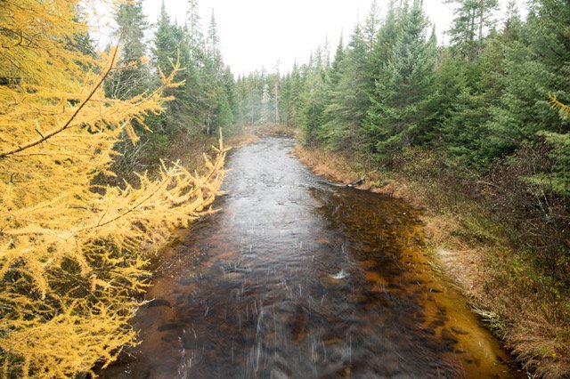
The Black Branch
Photo Credit: Roger Irwin
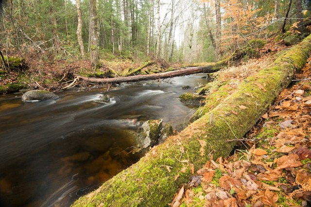
The Logger Branch
Photo Credit: Roger Irwin
The Logger Branch is an important tributary of the Black Branch. It is the main outlet of Lewis Pond and is joined by another stream flowing from Lewis Mountain. The Logger Branch flows south and east approximately 6 km (9.5 mi) before entering the Black Branch.
The Yellow Branch of the Nulhegan flows south from its source in the uplands south of Lewis Pond over a distance of approximately 15 miles (24 km) and empties into the Nulhegan River nearly opposite the gap between North Notch and Notch Pond Mountains. Much of its meandering course runs through the Yellow Bog.